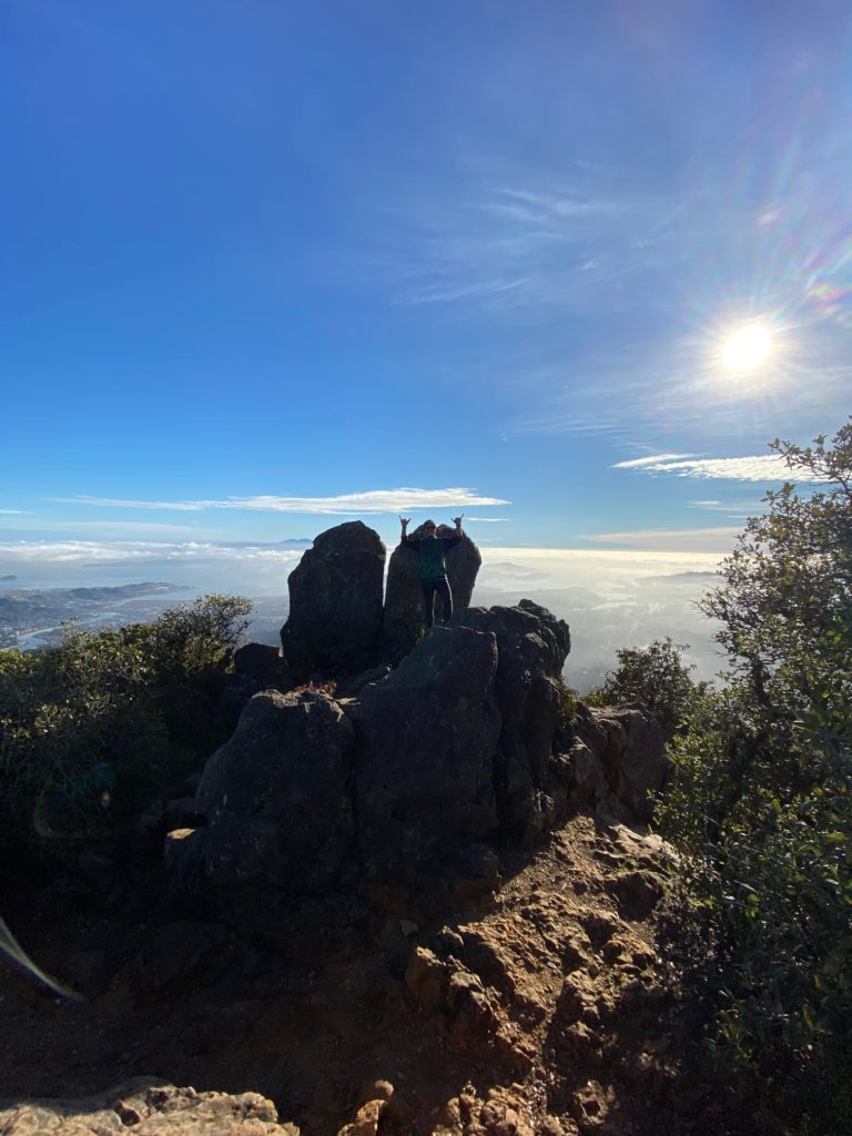
Yosemite National Park is a wonderful place for hiking, exploring and camping. I published a post last May titled California Dreaming, which highlighted multiple national parks on our trip. This post is an expansion of that to highlight Yosemite specifically. Through this more detailed series, I hope to give you all the info you’ll need to make a trip of your own.
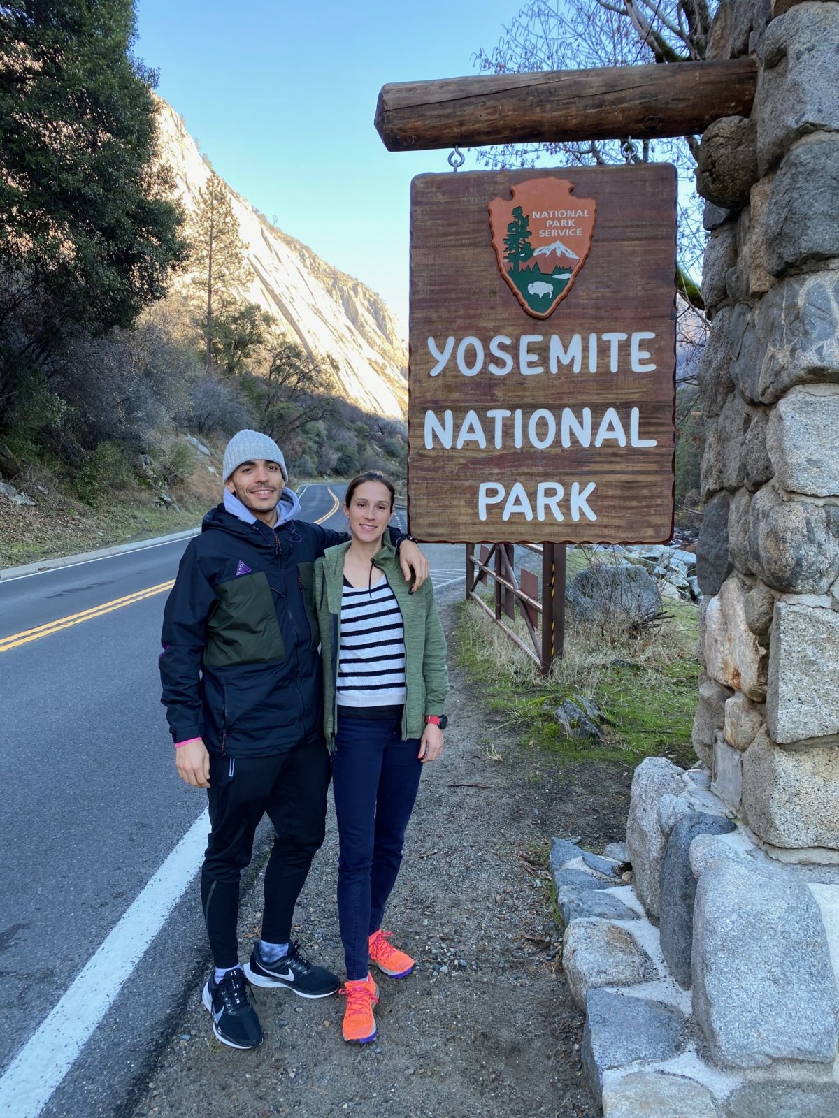
We visited Yosemite National Park in December 2019 and loved seeing the park in winter. Yosemite is one of those places that lives up to all the hype that you hear about it. While we only got to spend three days and two nights in Yosemite, I could have easily spent weeks there. It is truly mesmerizing. I recommend at least one visit, but hopefully many.
Yosemite National Park Basics
The 1,200 square mile park is California’s most popular national park and there is no question as to why. It is located in the Sierra Nevada mountain range in central California and sits 195 miles from San Francisco, 176 miles from Sacramento and 313 miles from Los Angeles.
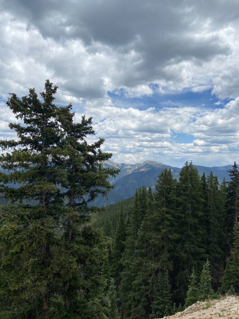
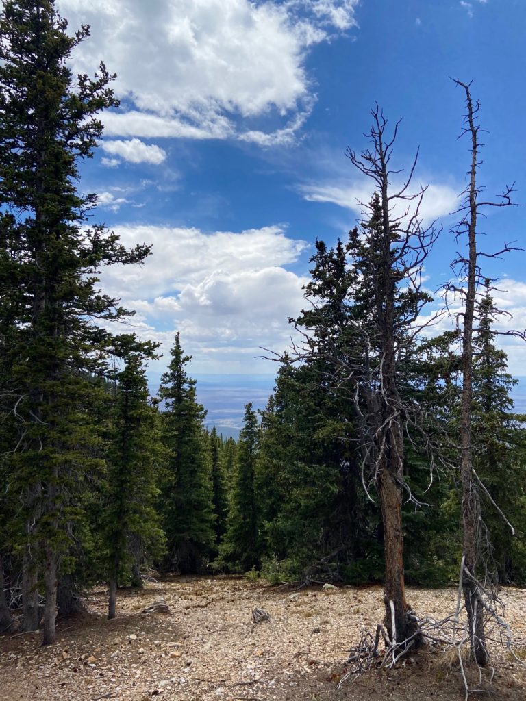
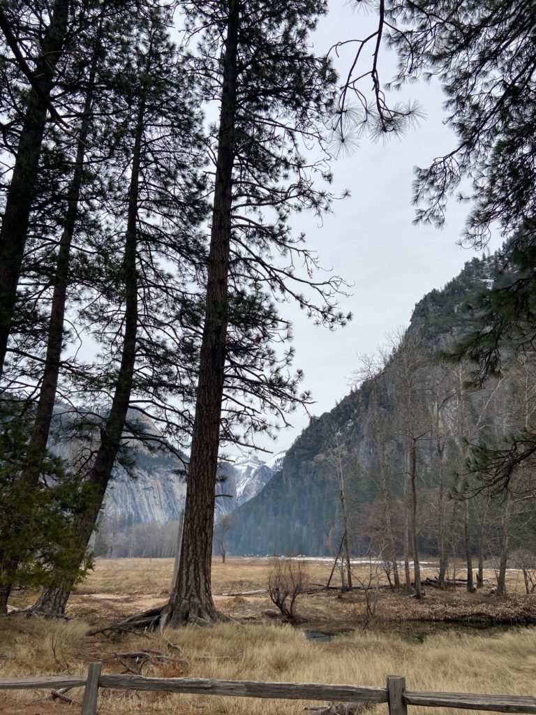
Yosemite is well known for the ancient and majestic sequoia trees that populate the park. Not to mention the dome rocks that tower over you as you enter the valley floor alongside the many waterfalls and meadows found throughout. Elevation in the park ranges from about 2,000 feet to 13,000 feet. Yosemite experiences large amounts of precipitation from October to May, with snow covering the park throughout winter.
There is an entry fee to visit the park, or you can use your America the Beautiful parks pass for covered entry. During the 2021 season you will need a reservation to enter. Make your reservation on Recreation.gov well in advance as the time slots are likely to be booked up quickly.
Yosemite National Park is located on Me-Wuk (Southern Sierra Miwok) lands.
Getting There and Away
You can drive to Yosemite via the south, west and north. The most common routes are from the San Francisco area, as well as from the Los Angeles area. It is advisable to use the park shuttle bus once you are inside the park due to all the traffic. Note that the shuttle is not running in 2021. There is also a YARTS bus that can also take you from Yosemite to the train station. YARTS travels east to Mammoth Lakes, west to Fresno and north to Sonora.

For our trip, we drove north to Yosemite from Los Angeles. There can be a lot of traffic, so we planned to leave by 5am to avoid it. Even though a 4am wake up call sounds rough, it is highly advisable if you are leaving from Southern California.
We drove out on the empty darkened LA freeways and hit the Tejon Pass by dawn. As we climbed the pass, daylight started to creep in, exposing the snow covered hillsides along the highway. We had lucked out, the pass was just a few days out of being shut down completely from a snow storm. The car crested the ridge and we rode into the valley below as the storied California farmlands fanned out on both sides. This eventually made way to a mountainous forested area that meandered into the national park.
Where to Stay

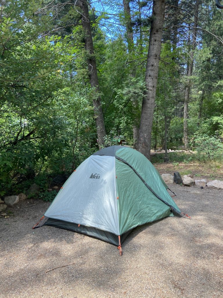
For our visit to Yosemite, we opted to stay inside the park in one of their lodges. While they are a bit more pricey, it was very much worth it to be able to reach the trails from your door. If you stay outside the park, you will have to queue up each day with a long line of cars. We stayed our first night in a cabin in Curry Village and our second night at the Yosemite Valley Lodge. Both were beautiful in their own way, with Curry Village more rustic and Yosemite Valley Lodge a step up in decor and price.
There are 13 campgrounds in the park, which you can review here. You will need to make a camping reservation on Recreation.gov well in advance of your stay. Those looking to splurge should check out Yosemite’s most famed lodge, the historic Ahwahnee.
What To Do
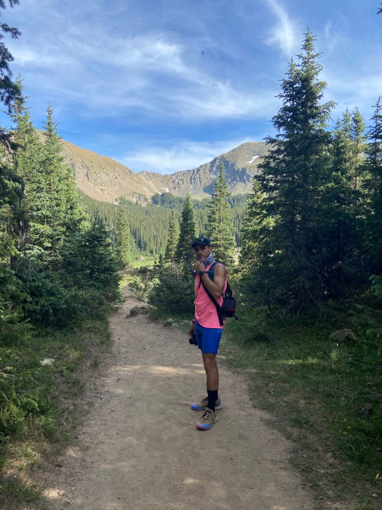
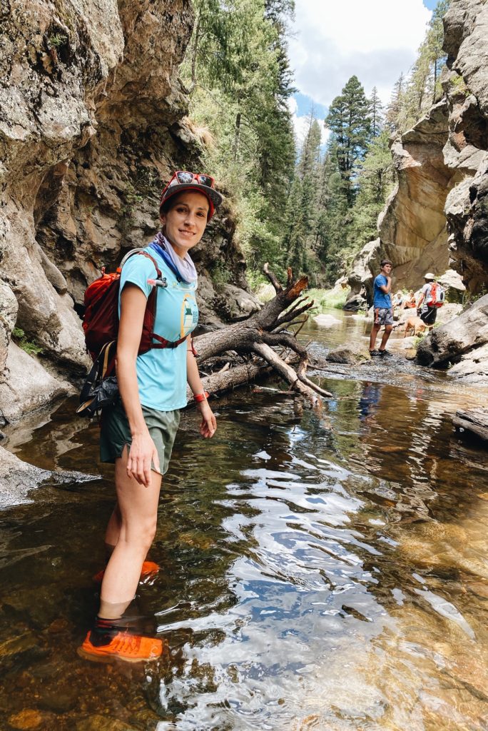
There is much to be said about Yosemite’s many opportunities for adventure that can’t all fit here. The most common activities are taking a hike, going on a wilderness tour and a whole range of active sports such as trail running, biking, fishing and horseback riding. I have highlighted what we did below.
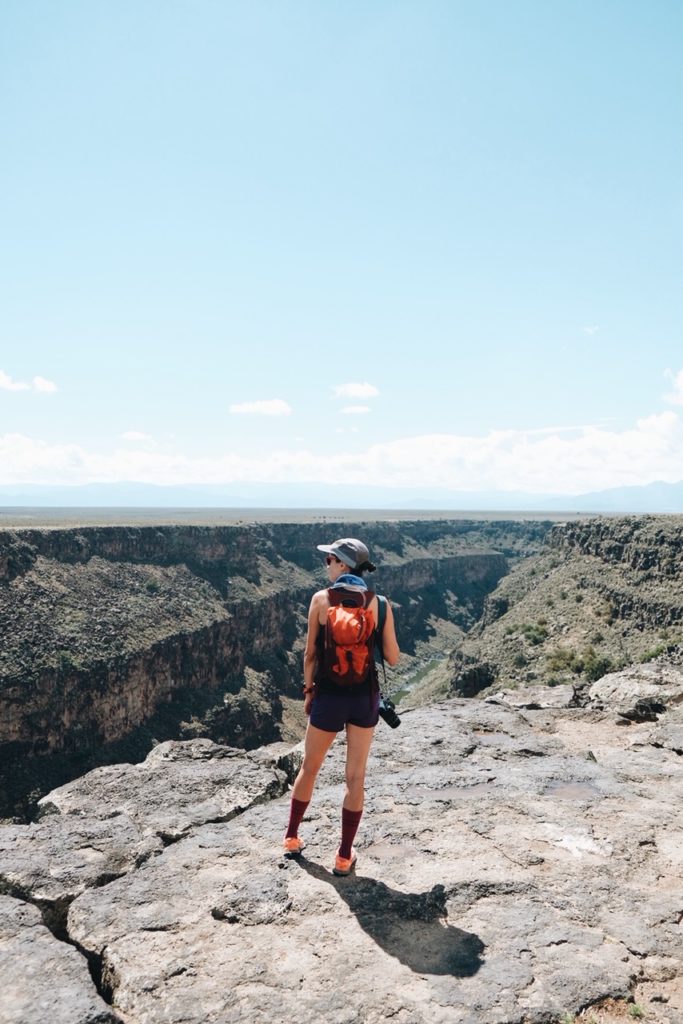
Go for a Hike
Prior to heading to Yosemite, I recommend looking up some of their trails and hikes. There is a great transit system that drops off visitors at most trailheads throughout the park, making everything more accessible without a car. The Yosemite Conservatory also offers tours that can take you to see some of the key highlights.
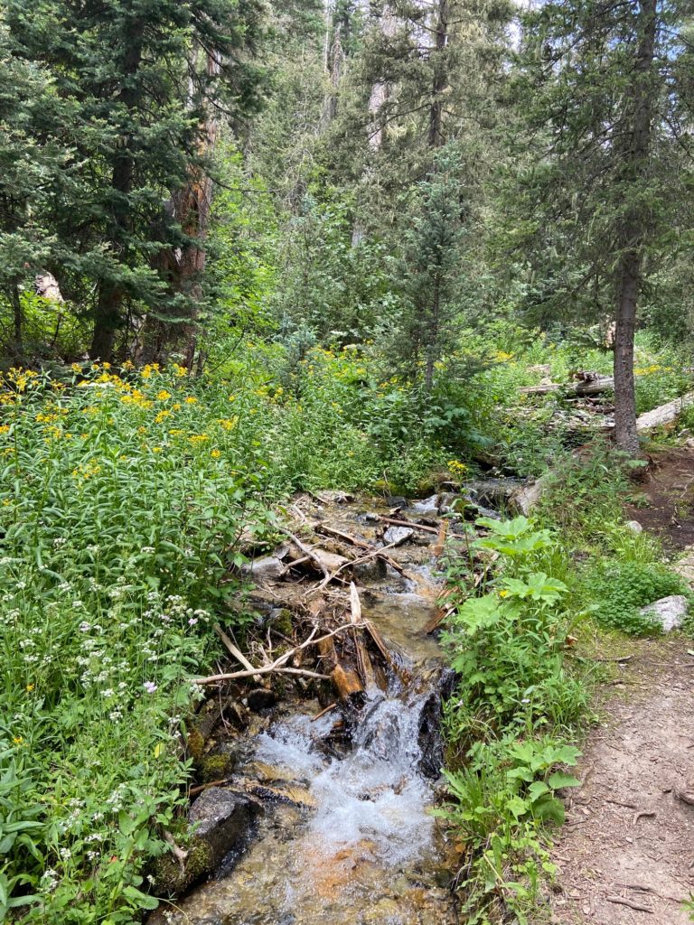
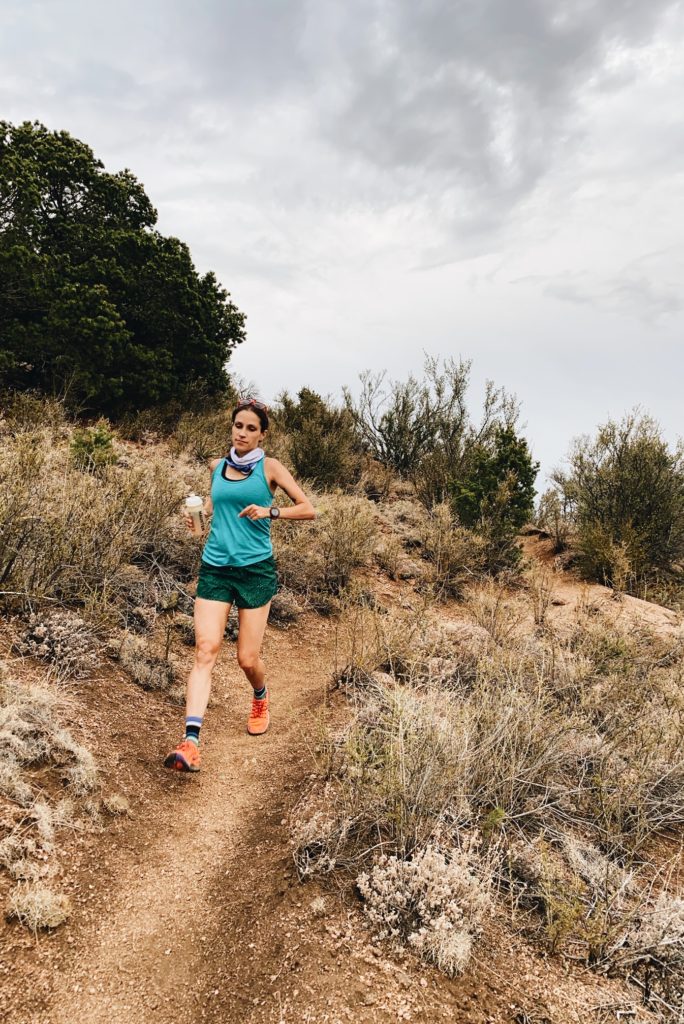
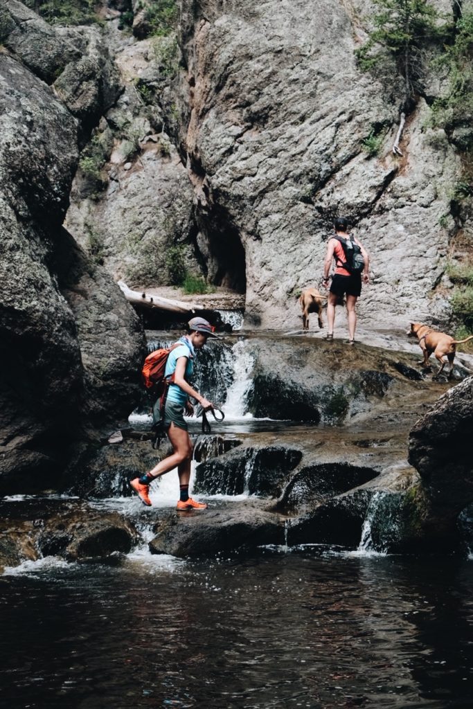
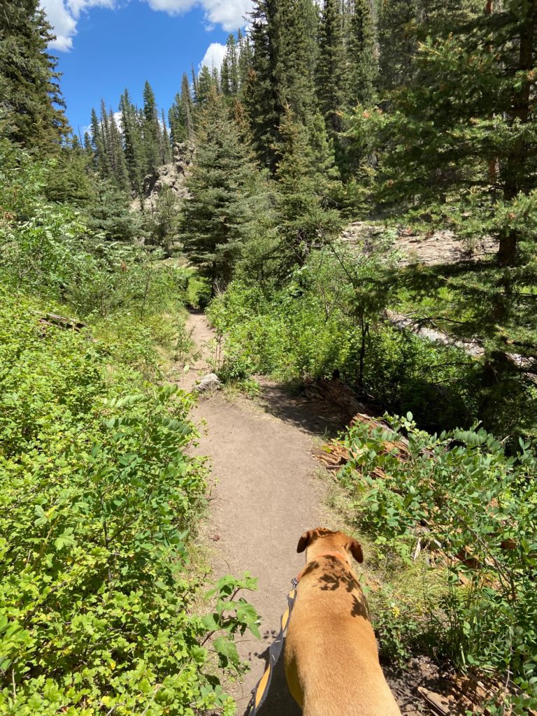
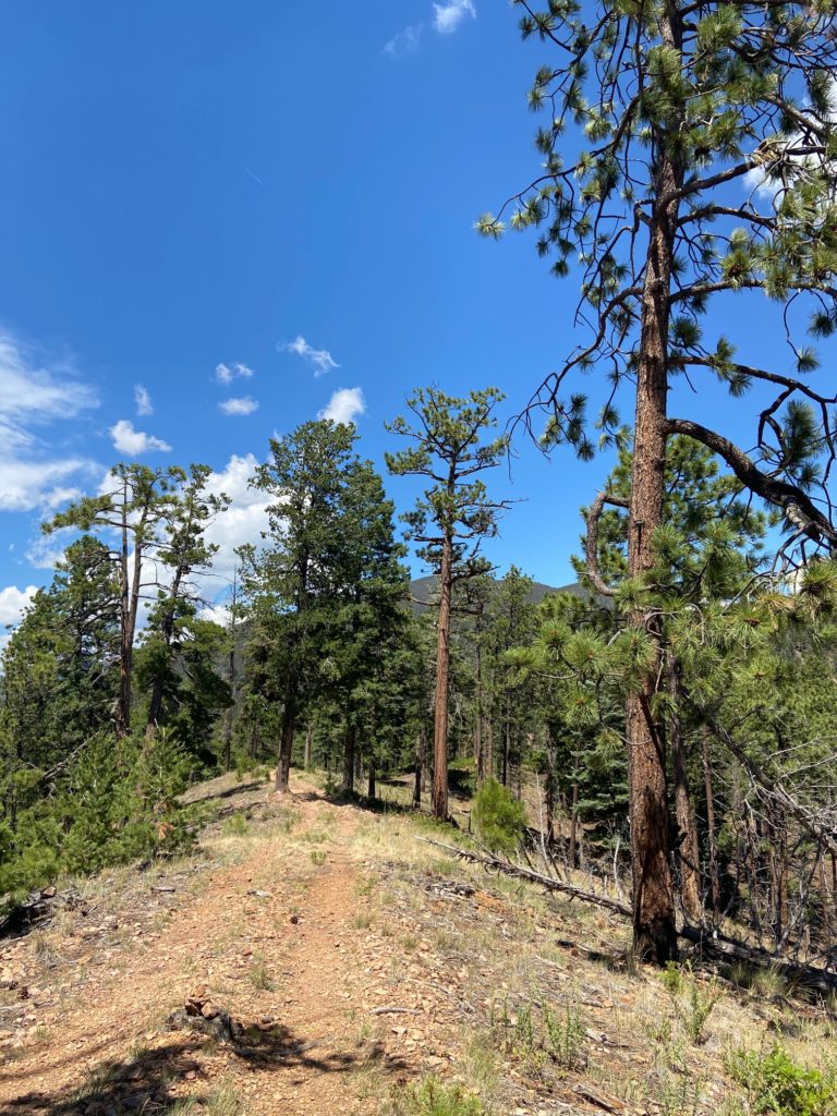
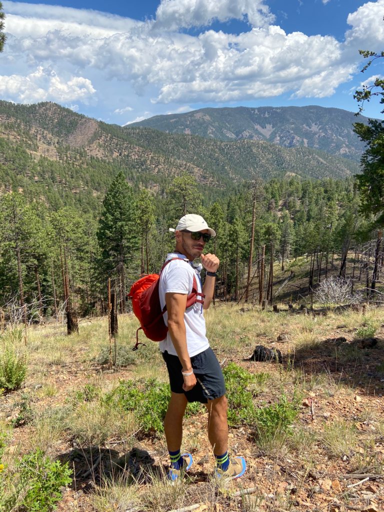
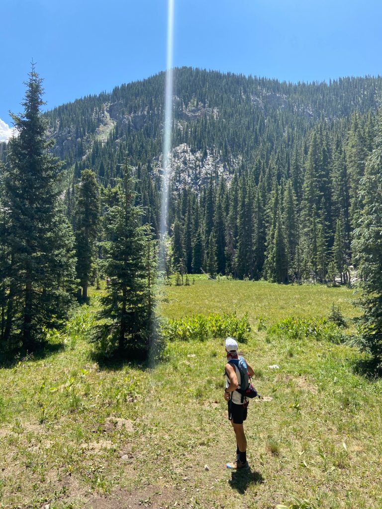
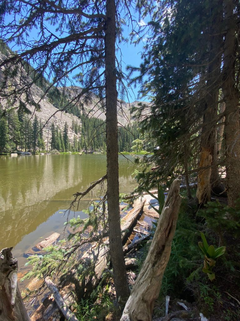
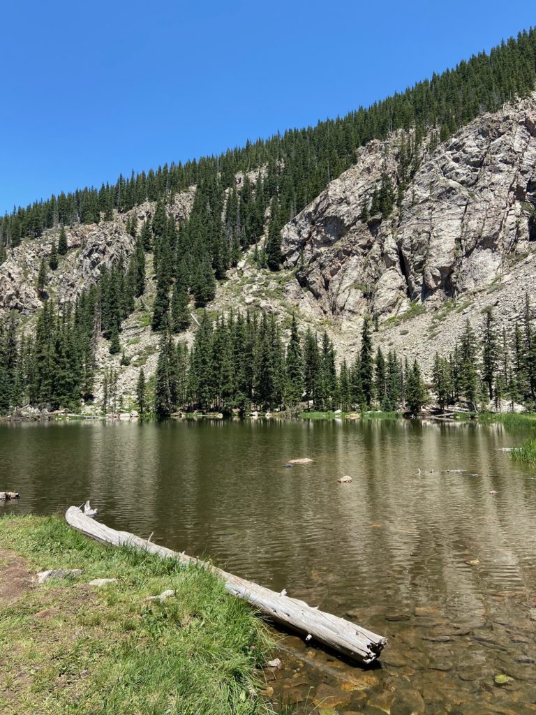
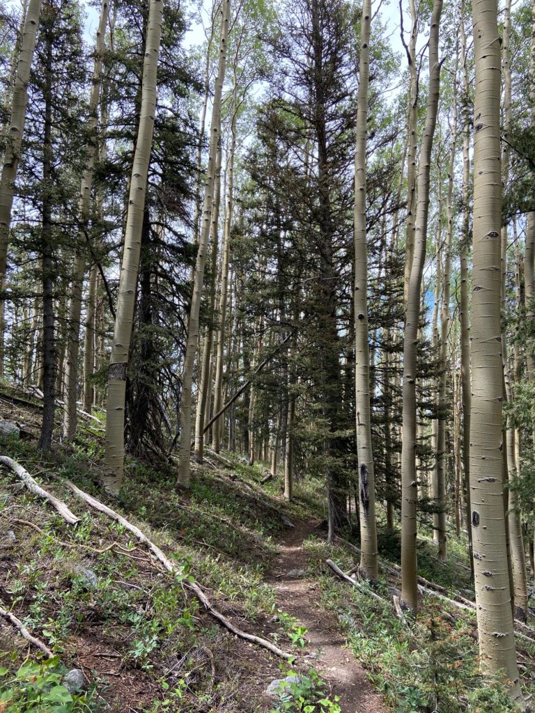
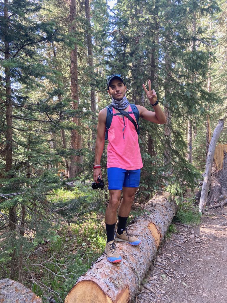
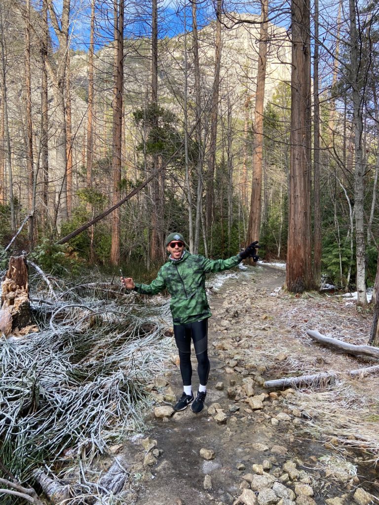
Since we were there for such a short time, we ended up doing trail runs on hiking trails to see more of the park. We checked out the Valley Loop Trail, Lower Falls Trail, and Mirror Lake Trail. Also, it was winter when we visited so a number of the trails were closed. Before you go, check out the park’s hiking page, which has a ton of information.


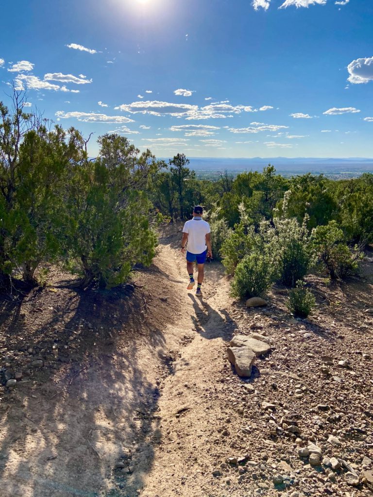
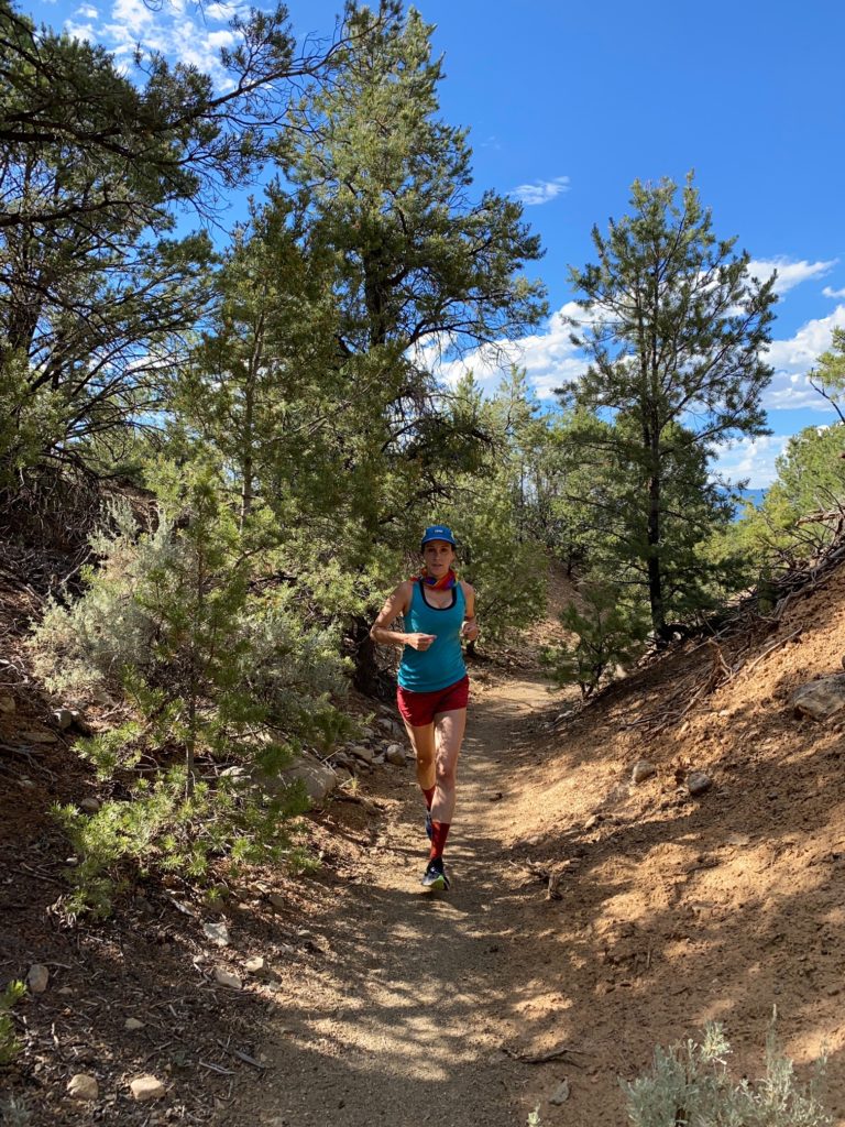
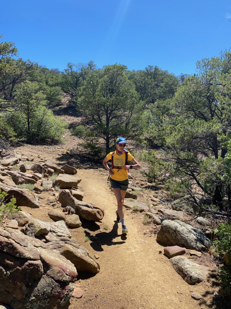
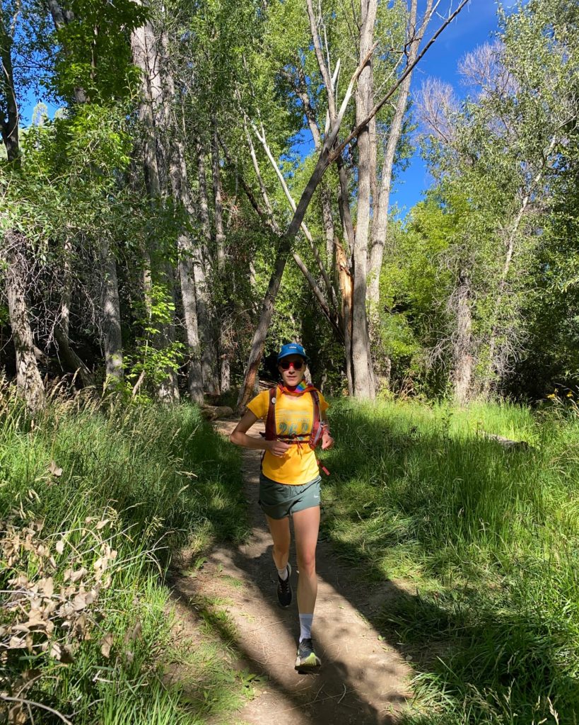
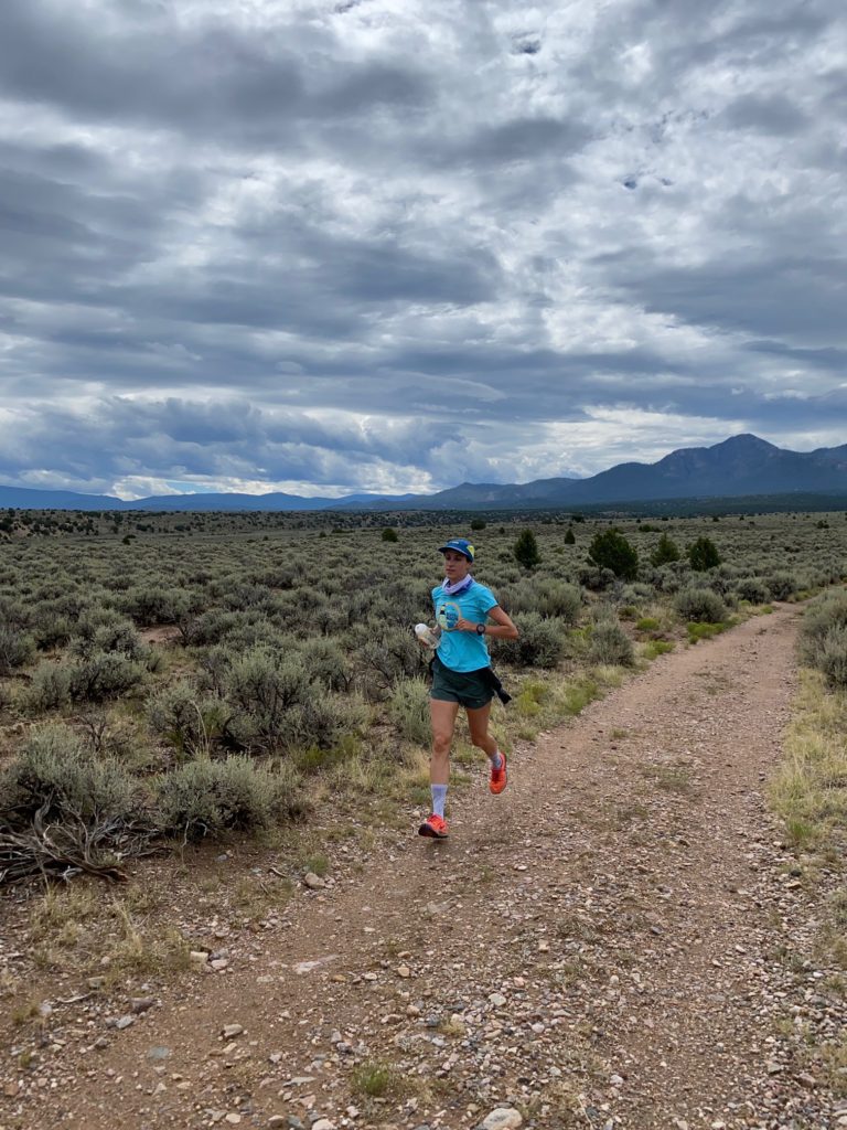
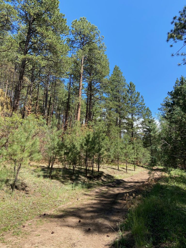
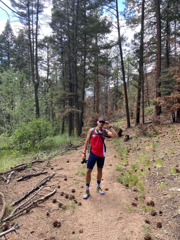
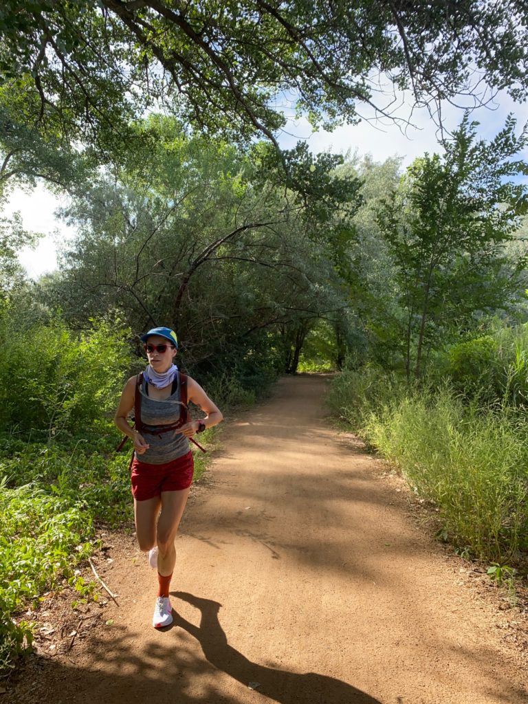
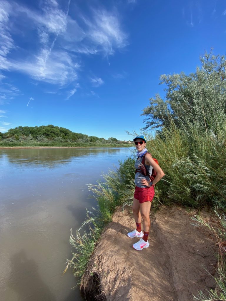
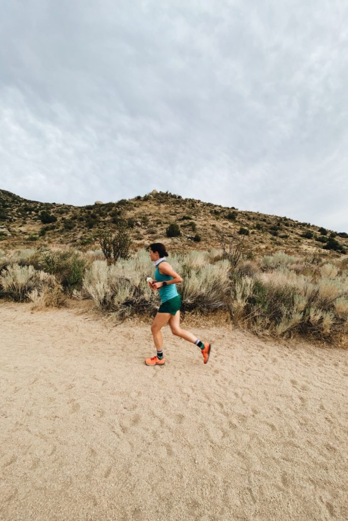
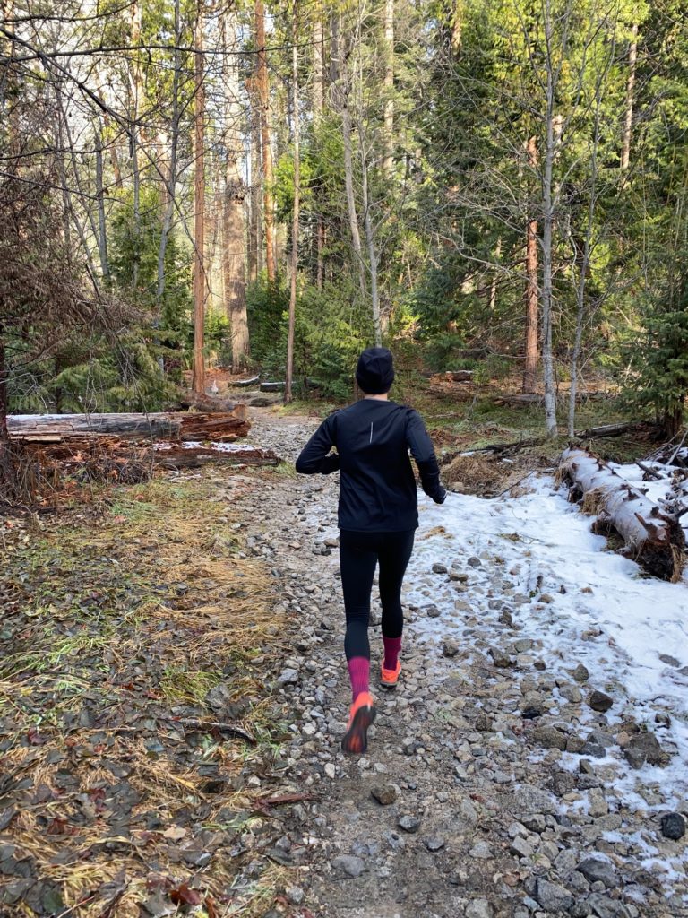
Go for a Run
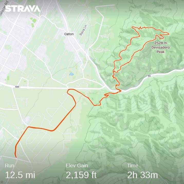
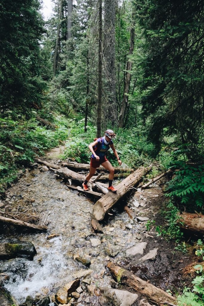
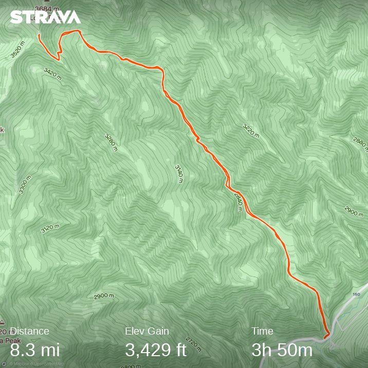
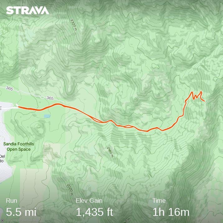
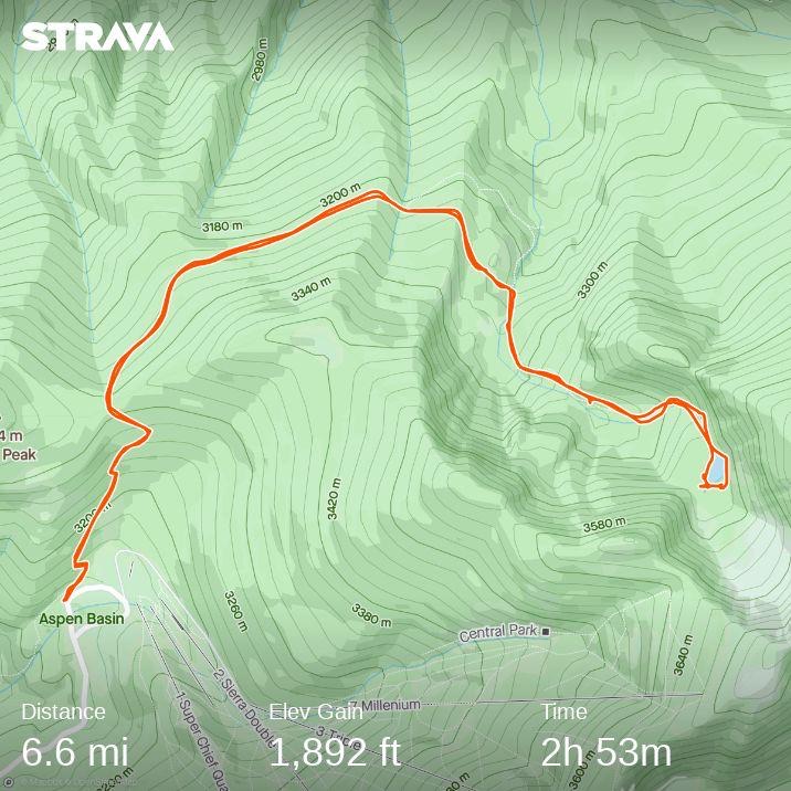
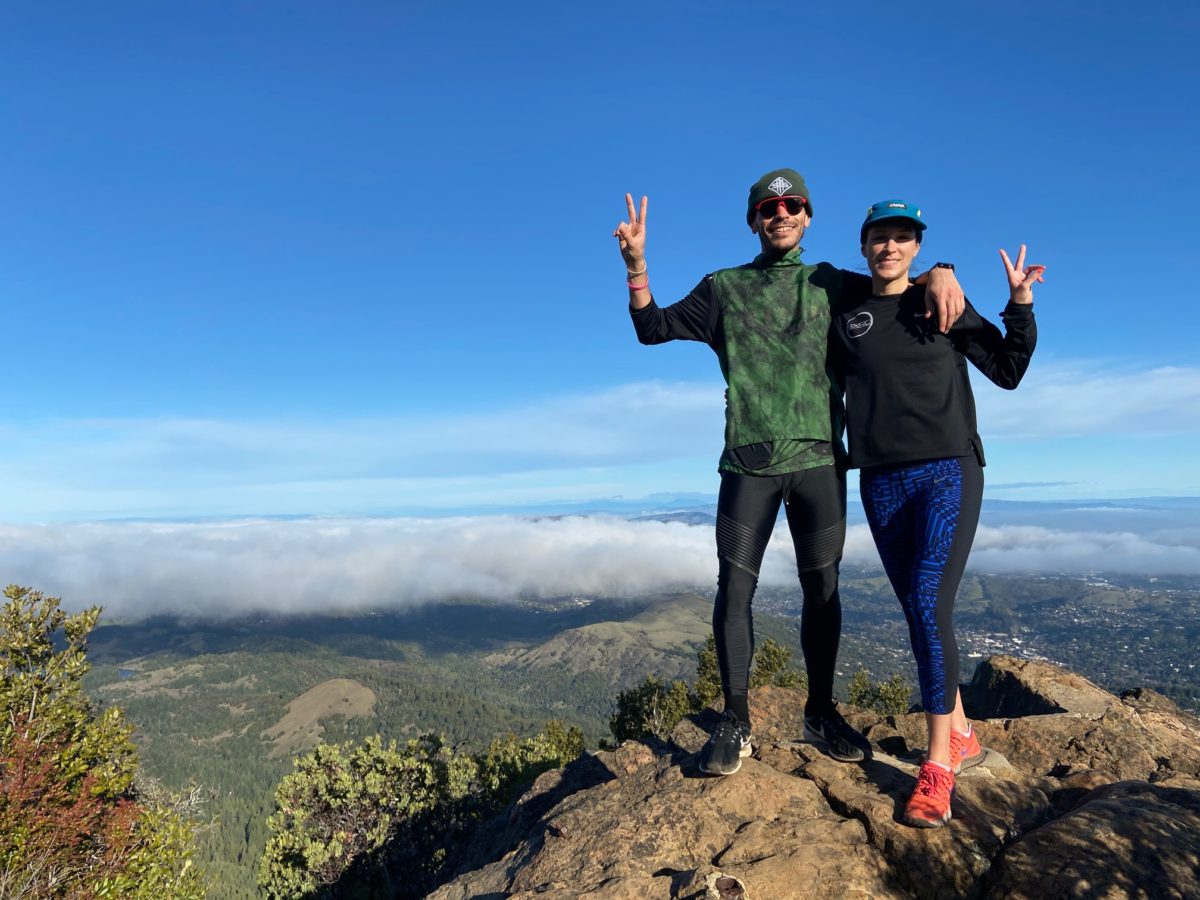
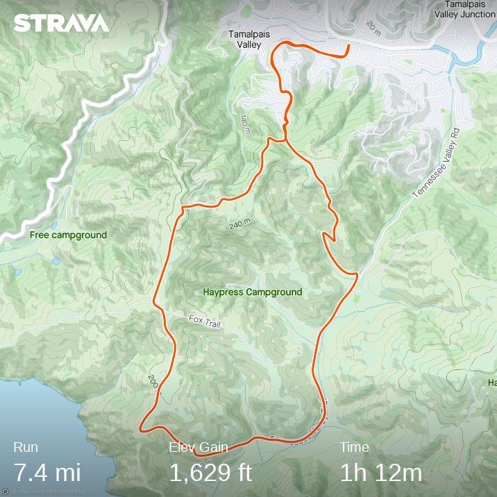
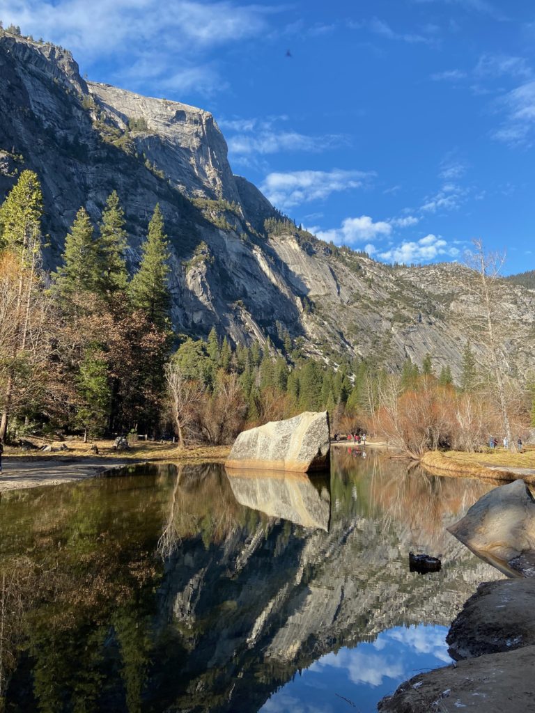
Our first trail run was on the Mirror Lake Trail, which offered an enchanting setting around a lake and allowed us to leave from our doorstep in the Curry Village. We did an 8 mile trail run, but you can also do much shorter hikes from the trailhead. See our Strava outline below.
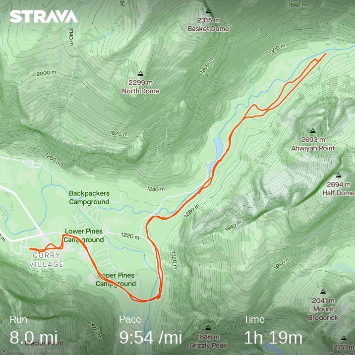
Yosemite trail running
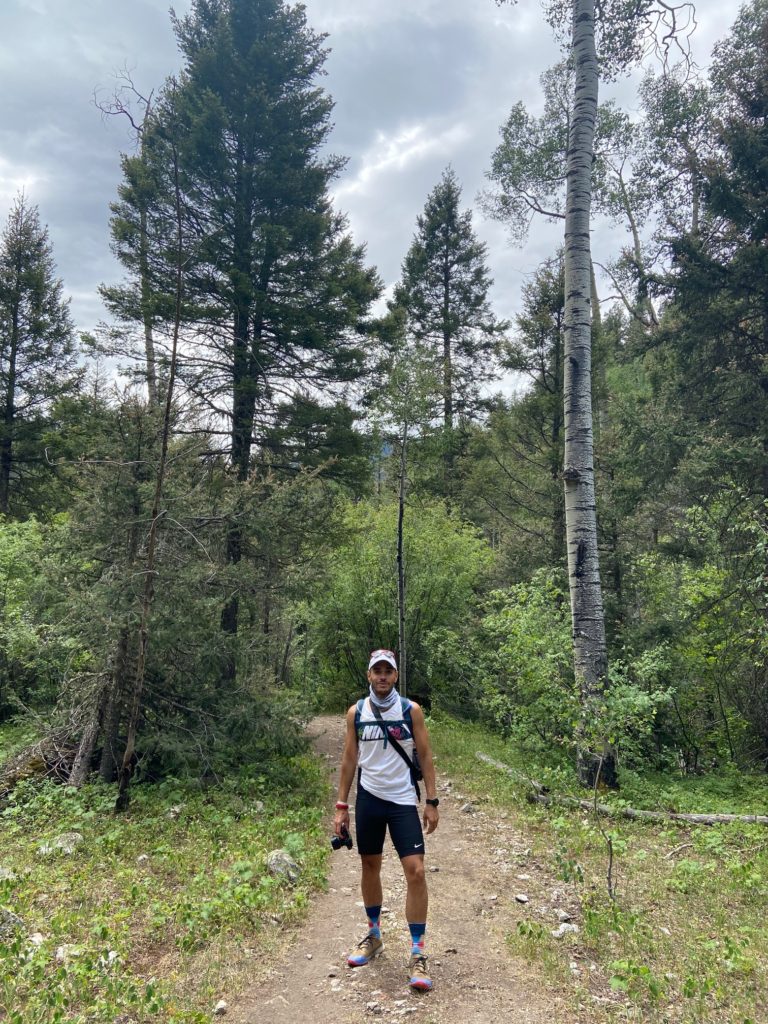
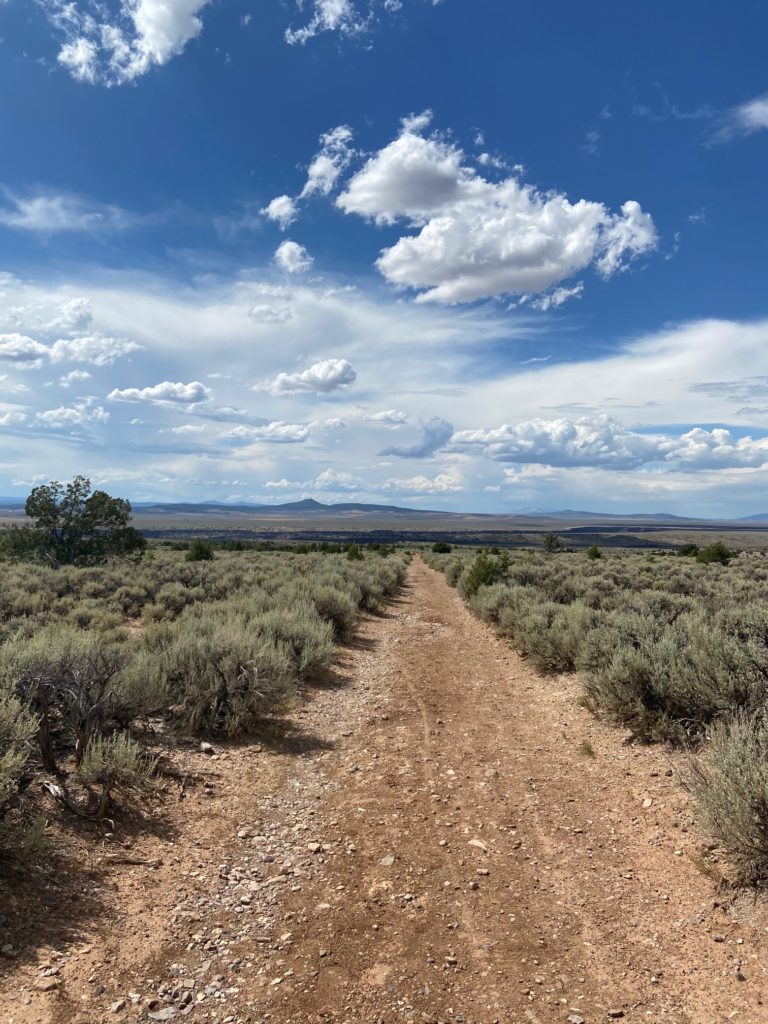
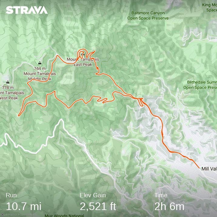
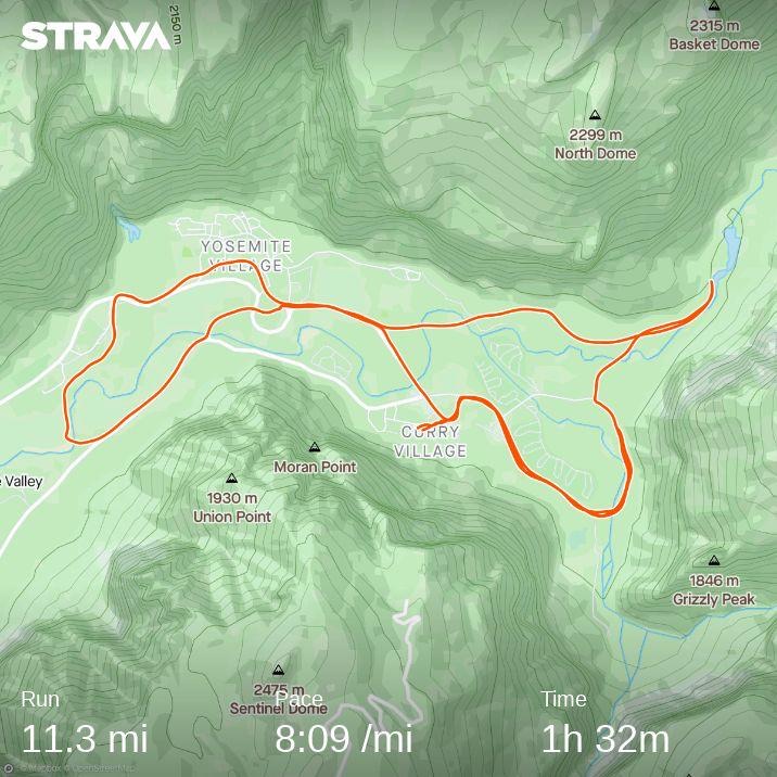
On our second day, I ran solo around the Valley Loop Trail. This trail was mostly paved, with parts of the run in more remote areas of the valley. I was petrified the entire time that I would come across a bear, but thankfully that did not happen! Even still, it was a great way to check out the valley in the early, misty morning while most people were still sleeping. See the Strava route below.
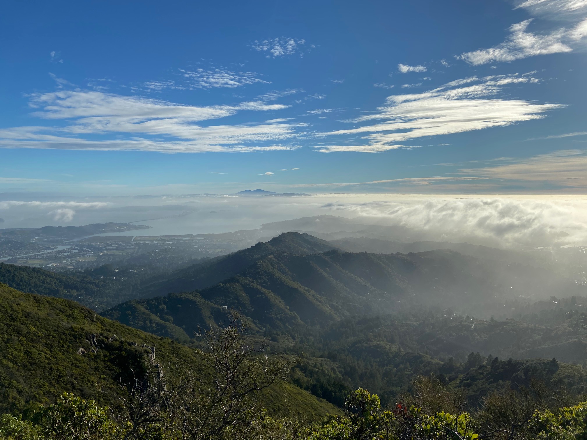
On our last morning, we took a run around the Lower Yosemite Fall Trail. We got out early to avoid the tour buses and crowds at the falls. Because of this, we were completely alone. Such a treat in this often crowded park! It felt special to have the place all to ourselves with the valley dew in the air.
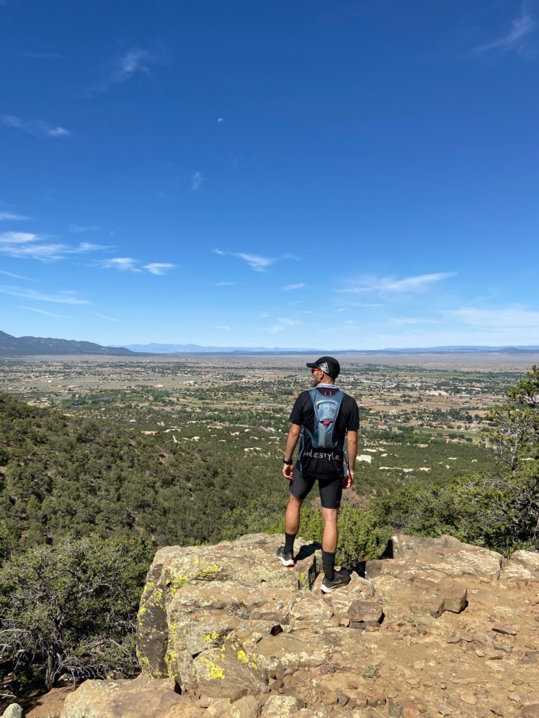
Take Some Photographs
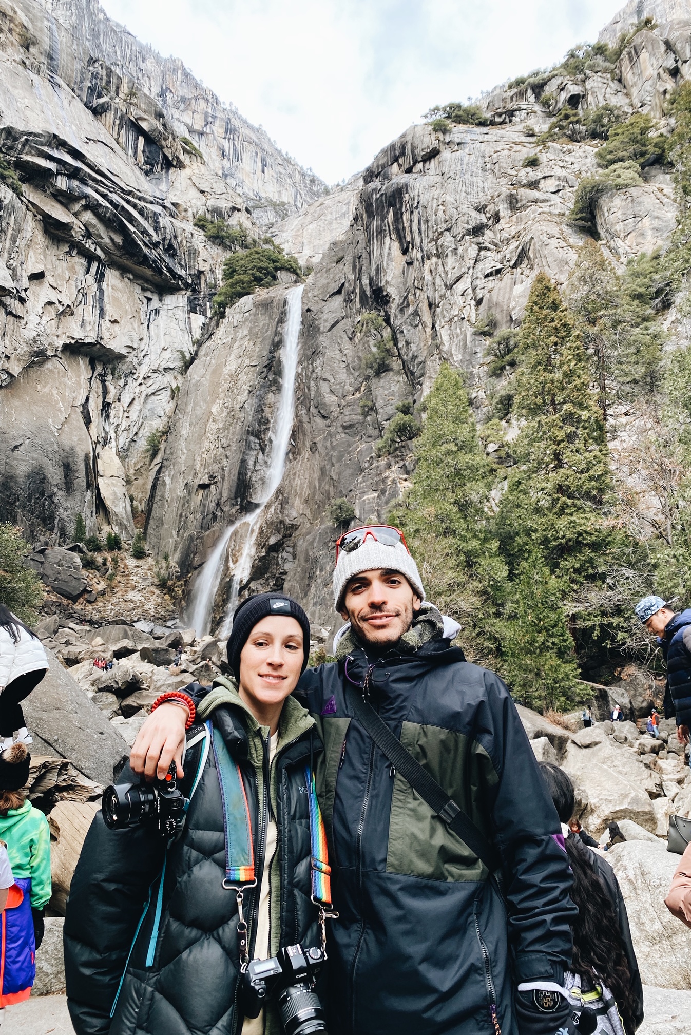
There are a lot of opportunities for beautiful photography in Yosemite. Ansel Adams Gallery offers photography classes and some of the other tours also offer chances for great photography. We took a lot of photos just walking around the Lower Yosemite Falls trail, which is a popular spot for visitors. But really, just get out there in the park and you will find so many inspiring views.
What Next?
If you want ideas for outdoor places to visit, read my other posts to see what adventures await nearby. If you are in California, I highly recommend you making Joshua Tree National Park part of your trip. I recommend reading my posts about the beautiful state of New Mexico, the Grand Canyon or about Rocky Mountain National Park.